Services
Land Surveying
Field survey, basemapping, property and right-of-way research, and utility documentation for infrastructure and site-development work.
Land Surveying
Overview
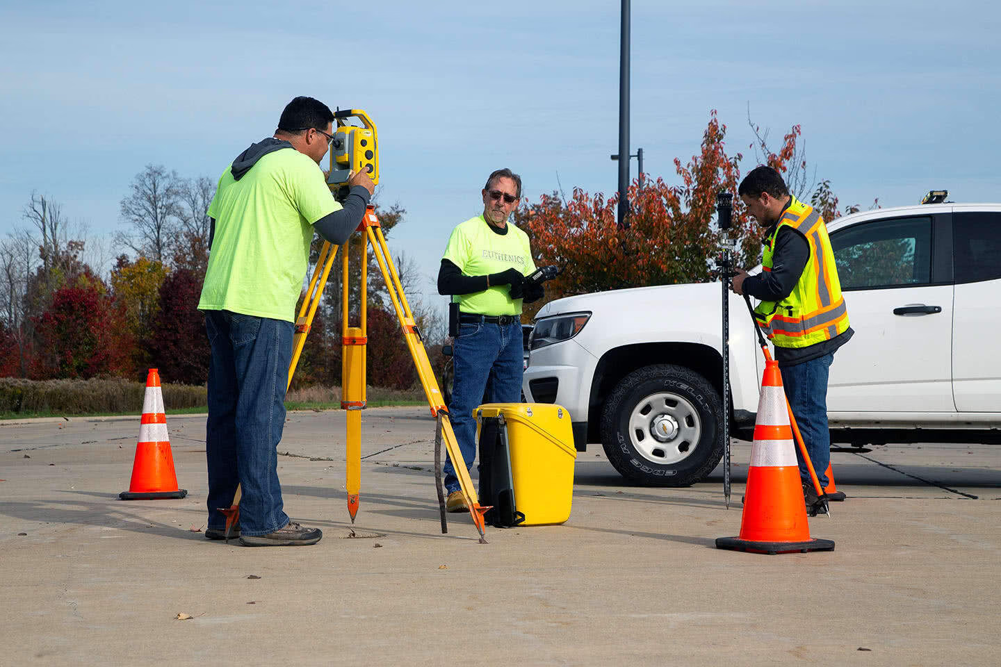
Euthenics provides land surveying and mapping for bridge, roadway, waterline, sidewalk, municipal, site-development, and property-related work. Survey information is developed for engineering design, right-of-way acquisition, permitting, and construction documents.
Services include boundary and topographic surveys, ALTA/NSPS land title surveys, survey control, existing-conditions basemapping, digital terrain models, property and right-of-way determination, temporary easements, legal descriptions, and utility mapping based on field-observable features and available records.
Survey teams coordinate with Euthenics engineers and outside project teams so field data, property information, utilities, and design limits are carried consistently into plans and supporting documents.
Capabilities
Land Surveying capabilities
Boundary, property, and ALTA/NSPS land title surveys
Topographic surveys, basemapping, and control surveys
Right-of-way plans, title research, easements, and legal descriptions
Existing-utility documentation and underground infrastructure mapping
Digital terrain models, corridor analysis, and as-built survey support
Project experience
Representative projects
Selected examples from the Euthenics project gallery.
View all projects


Land Surveying
Discuss a project.
Contact Euthenics about scope, technical constraints, and the path from planning through delivery.